During the project, 217 wells of the karst water level monitoring network in the Transdanubian Central Mountains were examined from the point of view of well structure and well hydraulics.
At the regional level, the main problem in the years following the overexploitation period (1960-1989) is the regeneration of the karst system, which causes an increase in the karst water level.
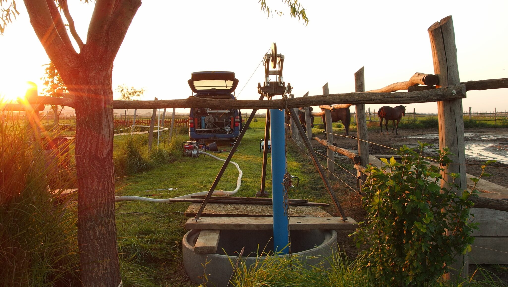
The main goal is to establish that the wells are still well suited for water level measurements and that the data measured by the water directorates can be relied upon reliably and conclusions can be drawn. The task is to find out the exact location of the wells, assess their condition, measure the well structure with a trolley (natural-gamma, temperature, hole width, continuous temperature profiling, ring space inspection, possibly color video camera recording) and well hydraulics (well capacity and backfilling, continuous temperature during production , differential temperature profiling, flow / swallow flow measurement,) conditions.

During the project, unforeseen problems arose with the accessibility and measurement of the wells, which made the work even more interesting and exciting.
Nearly 85% of the wells set in the project were measured, and due to their condition, only 70% of their depth could be measured. In terms of depth, the smallest was 9.5m and the deepest was about 970m.

In the case of most wells, there were obstacles that affected the course of the measurement and could presumably also affect the measurement of the degree of water level change.
Among the observed wells, we found ones that were especially suitable and unsuitable in terms of their operation and water level measurability.